
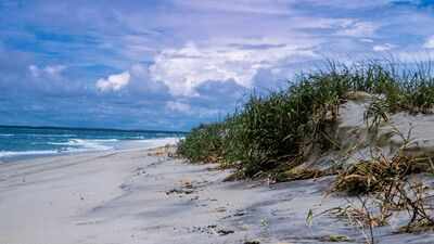
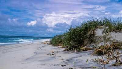
Assateague Island National Seashore in Maryland is known for its undeveloped beaches, wildlife and natural coastal habitats. But plans were once in place to turn large parts of Assateague into a resort community with homes, roads, commercial areas and other infrastructure.The island’s story took a different turn after two major storms, National Park Service says. A hurricane in 1933 changed the shape of the land by opening an inlet between the southern end of Ocean City and Assateague. Nearly three decades later, the Ash Wednesday storm of 1962 destroyed roads and structures that had already been built on the island and disrupted plans for large-scale development.The island soon became a protected area and the Assateague Island National Seashore was officially established on September 21, 1965, by President Lyndon B Johnson.Today, the National Park Service manages most of the Maryland portion of the seashore, while other parts of the island are managed by Maryland State Park and the US Fish and Wildlife Service. The protected area has also become a major destination for people who want to visit beaches and see wildlife in a relatively undeveloped coastal setting.
The 1933 storm that changed island
Assateague was once connected to the popular Fenwick Island. That changed in August 1933, when a storm ripped through the long barrier island and opened an inlet between the southern end of Ocean City and what became Assateague.The new opening was later fortified to keep it open. It allowed passage between the ocean and the bay and permanently changed the geography of the area. Visitors can still stand at the tip of either island and see the other across the inlet.Before the split, Assateague had a small number of communities. From around the late 1850s, places such as Green Run and Assateague Village were home to residents who worked mainly as watermen or for the United States Life-Saving Service.Assateague Village was the largest community on the island and was located below the lighthouse. In 1890, the county built a one-room school and hired one teacher to teach children from grades one through six. Residents also grew vegetables and kept horses, sheep, hogs, chickens and ducks.The population of Assateague Village had declined by about 1922. But plans for a much larger community were taking shape by the 1950s.
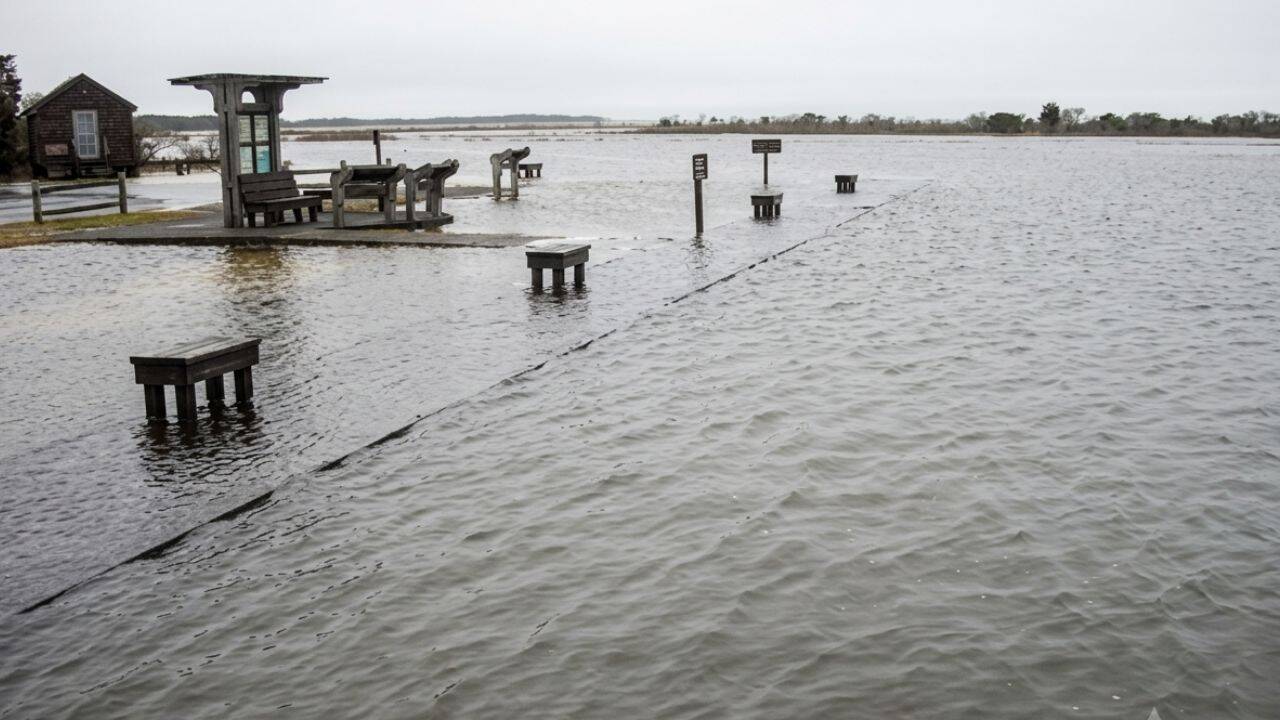
Destruction after the storm (Photo: NPS)
Plans for resort community
In the 1950s, developers planned a resort town called ‘Ocean Beach’. The proposed community was to have 15 miles of continuous beach, along with housing areas, commercial zones, coastal highways, streets and parks.Another development was planned at the northern end of the island. A pamphlet for the proposed community advertised building sites measuring 100 feet by 200 feet, or about half an acre.Development was already moving ahead in parts of Maryland’s Assateague. Roads and other infrastructure were being built, and there was even an attempt to construct a bridge to the island.On March 6, 1962, a powerful storm known as the Ash Wednesday storm struck the island. It washed over Assateague and destroyed most of the development’s roads and structures.The destruction changed the future of the island. According to Carl Zimmerman, a park spokesman for 20 years, the storm changed people’s view of whether the island could support major development.
A protected coastline
The 1962 Ash Wednesday storm changed the future of Assateague Island. The storm destroyed roads and structures that had been built as part of development plans and showed how vulnerable the barrier island was to major storms.Instead of rebuilding the planned resort community, the remaining land was acquired by the federal government and eventually protected. The plans for homes, commercial areas, roads and other permanent development were abandoned.Assateague Island National Seashore was officially established on September 21, 1965. The designation protected the Maryland side of the island and the surrounding waters for present and future generations.The decision meant that Assateague would remain largely undeveloped even as other parts of the Mid-Atlantic coast became increasingly developed.A bridge later connected the protected area with nearby communities, making it easier for visitors to reach the island’s undeveloped beaches and wildlife areas. Today, the same coastline that was once marked for a major resort remains protected land, with visitors coming to experience its beaches, wildlife and natural coastal environment.
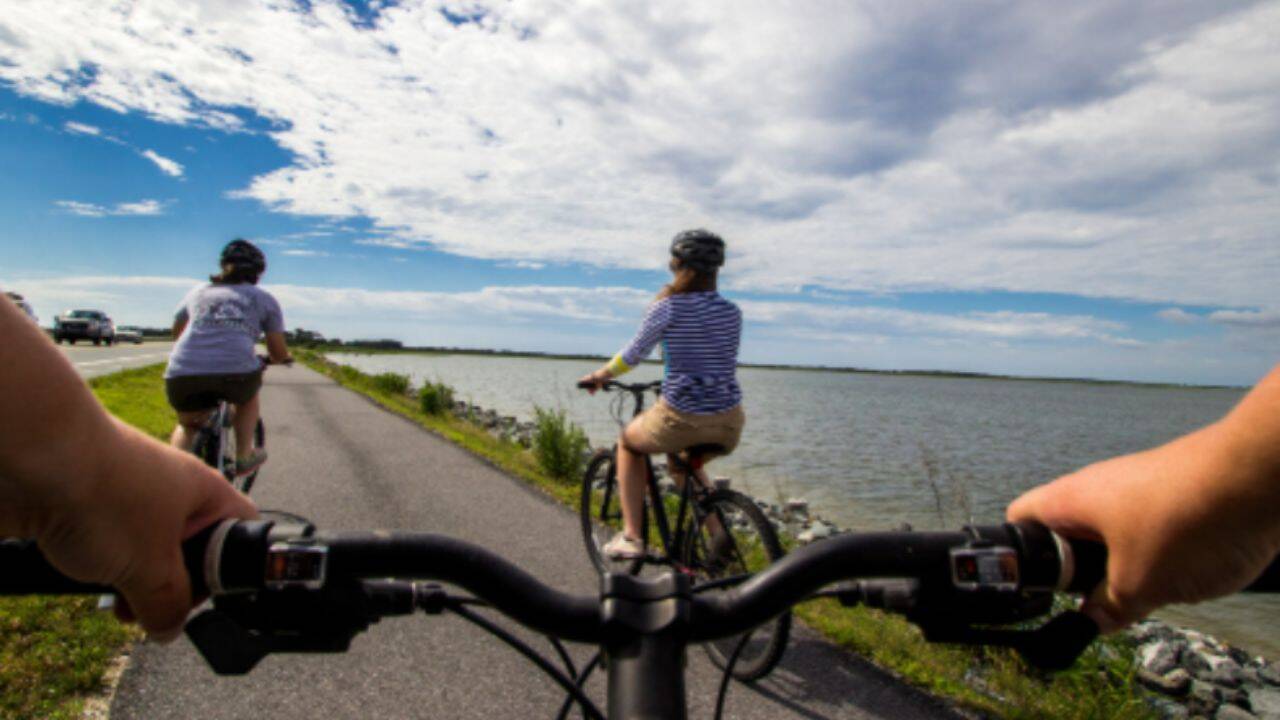
The island’s natural setting also supports recreation and wildlife viewing
A rare stretch of natural coastal habitat
Assateague is now described by the National Park Service as one of the largest and last surviving Mid-Atlantic barrier islands with intact coastal habitats where natural processes continue with little or no human interference.The seashore includes 32,000 acres of marine and estuarine waters. These protected waters are a surviving example of the aquatic ecosystems that once existed across the Mid-Atlantic coastal region of the United States. The habitats support many aquatic and land-based species.The island’s natural setting also supports recreation and wildlife viewing. Visitors can walk along the beach, swim, surf, watch wildlife, go birding, crab, fish and kayak.The island is particularly known for its wild horses. An ABC News report said more than 80% of visitors came to see the 114 native horses in their natural setting.The area is also important for birds. The Audubon Society has named Assateague a Global Important Bird Area because of its many rare migratory bird species.
Assateague supports local livelihoods
The waters around Assateague also support the aquaculture industry in the surrounding area. Watermen raise and harvest clams and oysters in leased underwater areas. They use poles to mark the boundaries between their leased grounds and public waters.Assateague has also become an important source of tourism for nearby communities. In 2013, 2,056,827 visitors enjoyed recreational experiences at the seashore and spent $84,350,400 in communities near the park. That spending supported 1,052 local jobs.The National Park Service said more than one million people now visit Assateague each year, including the Chincoteague National Wildlife Refuge in the Virginia district.